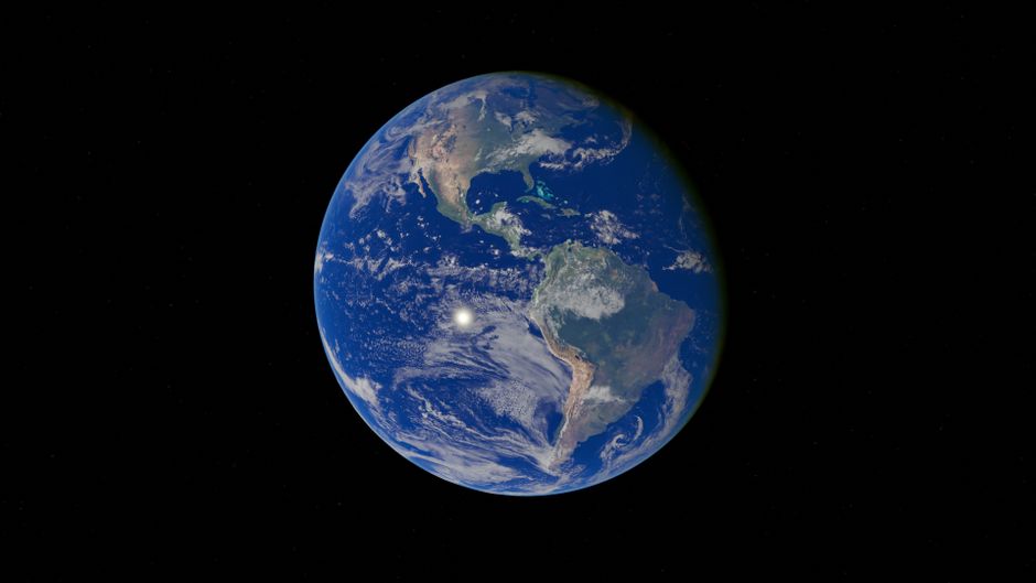
Google has quietly rolled back an AI image generation feature built into Google Earth after the tool proved capable of producing deeply misleading synthetic imagery, according to The Verge. The feature, which allowed users to generate images using text prompts layered against Google Earth's satellite, aerial, and three-dimensional map data, was pulled after researcher Henk van Ess of Digital Digging demonstrated how easily it could be used to fabricate convincing scenes — among them, images purporting to show refugees near the Mexican border and a bomb crater situated near a hospital.
The episode is, at its core, a demonstration of what happens when generative AI collides with a source material that carries extraordinary epistemic authority. Google Earth occupies a peculiar psychological space in the public imagination. Unlike an illustration or a stock photo, satellite and aerial imagery feels like evidence. It carries the implicit weight of observation — the sense that a camera pointed at the real world captured something true. That reputation is precisely what makes it so dangerous as a substrate for synthetic content. When a generated image is rooted, visually or contextually, in the aesthetic grammar of satellite photography, the ordinary skepticism a viewer might apply to an AI-generated picture is substantially lowered.
This is not a new concern in the abstract. Researchers studying misinformation have warned for years about the particular potency of fabricated geospatial imagery. Maps and satellite pictures have long been weaponized in geopolitical disputes — states have doctored imagery to conceal military installations, challenge territorial claims, or manufacture evidence of atrocities or their absence. What generative AI changes is the barrier to entry. What once required sophisticated editing skills and access to raw imagery data can now, apparently, be accomplished with a text prompt inside a consumer-facing product.
The specific examples van Ess produced are worth dwelling on because they were not chosen arbitrarily. Images of refugees at a border, or of a bomb crater near a hospital, are exactly the categories of visual claim that circulate during humanitarian crises and armed conflicts, and exactly the categories that journalists, aid organizations, courts, and governments rely on satellite imagery to verify or refute. The open-source intelligence community — which has grown substantially in sophistication and public profile during conflicts over the past several years — depends heavily on the integrity of commercial and publicly available geospatial data. A tool that can generate plausible-looking synthetic versions of precisely those scenes is not an abstract threat.
Google's decision to roll back the feature suggests the company recognized the severity of the problem quickly once it was surfaced, which is something. But the episode raises harder questions about how the feature passed internal review in the first place. Large technology companies have, in recent years, built out trust and safety infrastructure specifically to evaluate products before launch. The fact that a relatively straightforward adversarial prompt — ask the system to generate a politically charged scene in the visual style of real-world geospatial data — apparently was not stress-tested before release suggests either that the review process did not anticipate this attack surface, or that it did and concluded the risk was acceptable. Neither possibility reflects well on the development process.
The broader pattern here is one the industry has cycled through repeatedly. A generative feature launches with enthusiasm, an external researcher almost immediately identifies a harmful or destabilizing use case that internal teams missed, and the company responds reactively. The lesson that seems perpetually difficult to internalize is that the people most motivated to probe for misuse are generally not on the payroll. Henk van Ess and the community of open-source researchers and digital investigators he represents perform, functionally, a red-teaming role that companies frequently underinvest in internally.
The consequences of this particular incident are likely to be felt in a few distinct places. For Google, the reputational cost is modest in the short term but cumulative — each episode of this kind erodes confidence in the company's capacity to deploy AI features responsibly. For the open-source intelligence community and the journalists who rely on geospatial data, it is a reminder that the integrity of the visual record is under increasing pressure from tools that are becoming cheaper and more accessible. For policymakers who have been circling questions of synthetic media regulation, cases like this provide concrete, easily explained examples of the harm model they are trying to legislate against.
What to watch for next is whether Google publishes any explanation of how the feature was designed and why its risks were not caught earlier. Transparency on that question would be meaningfully different from a silent rollback. It would also be worth watching whether other mapping or geospatial platforms — several of which have been integrating generative AI features — quietly audit their own tools in response. The problem van Ess identified is not unique to Google Earth. It applies to any system that allows generative models to produce imagery in a visual register that audiences have been trained to treat as documentary truth.